
QGIS, ArcGIS Pro and WebOffice are now available in infra3D NextGen
25.06.2026
infra3D NextGen now offers GIS integrations for QGIS, ArcGIS Pro and WebOffice. The tried-and-tested GIS workflows of infra3D Classic – which will be phased out in 2027 – are thus seamlessly transferred to the new platform.
These integrations provide direct access to infra3D’s digital road and rail networks from within the relevant GIS environment. Users can carry out measurements, utilise linear referencing and efficiently capture, manage and analyse infrastructure-related information.
Discover all infra3D integrations
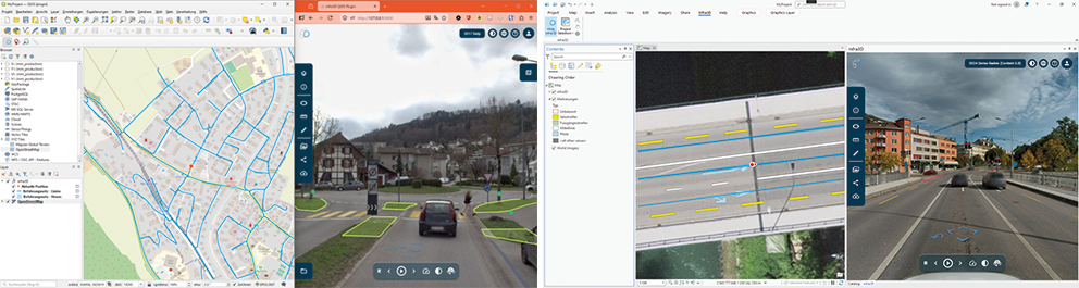
Basic functions common to all three integrations
-
Accessing and switching between projects or campaigns
-
Displaying infra3D in split-screen mode within the GIS or in an additional browser window
-
Synchronised positioning and navigation between the GIS and infra3D
-
Logging in and authentication in infra3D
The new integrations
-
Accessing and switching between projects or campaigns
-
Displaying infra3D in split-screen mode within the GIS or in an additional browser window
-
Synchronised positioning and navigation between the GIS and infra3D
-
Logging in and authentication in infra3D
New integrations
- QGIS plugin(QGIS 3.x and 4.x): extensible with synchronised measurement functions, geometry exchange and layer synchronisation.
- ArcGIS Pro Add-in (from version 3.4): Extensible with synchronised measurement functions, geometry exchange, connection to ArcGIS Feature Services and the display of graphical layers.
- WebOffice plugin (version 10): direct integration of infra3D into WebOffice for the efficient viewing, entry and management of infrastructure information.
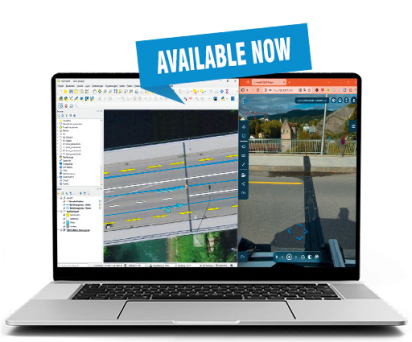
The new integrations are available now


