Precise evaluations for the highest demands
Our specialised desktop software for mapping and geodata assessment of the highest standard for the professional
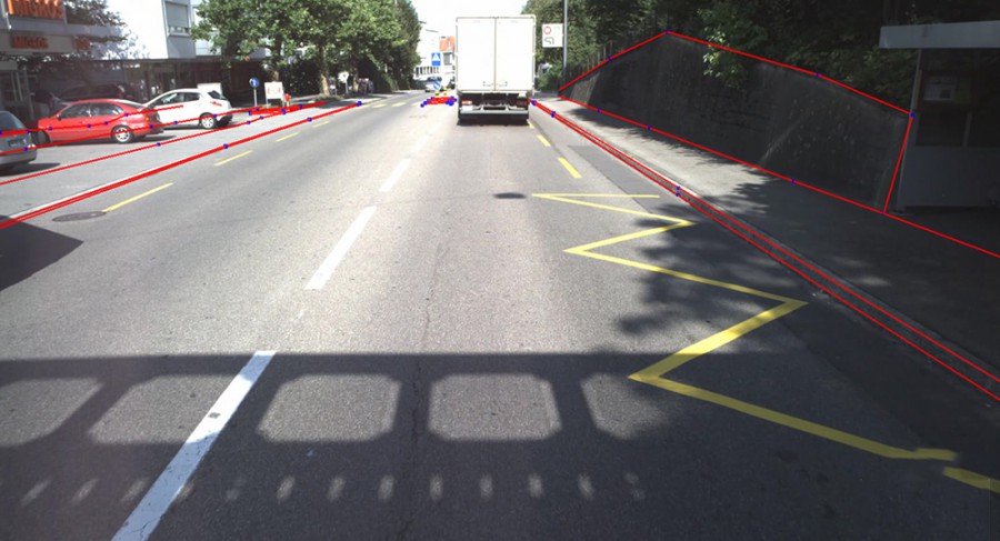
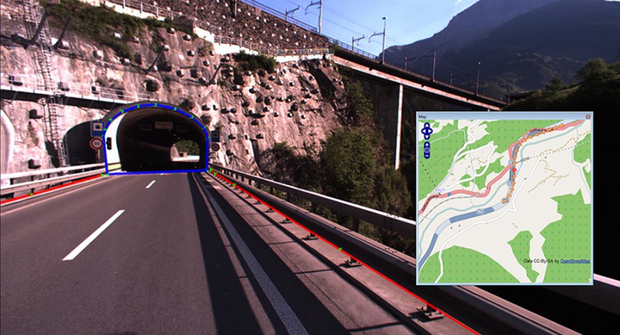
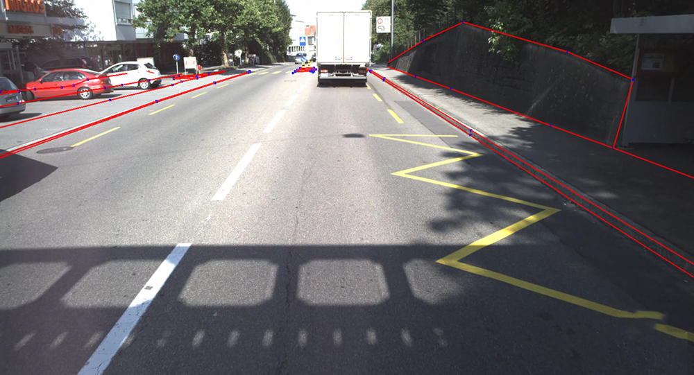
Stereovision Client enables our 3D image data to be evaluated stereoscopically on a 3D workstation or viewed as a monovideo. Stereoscopic evaluation means that even in tunnel images precise objects can be mapped, contact wires can be analysed and clearance measurements can be carried out reliably.
Potential applications
- GIS inventory
- Cross-section evaluations
- Tunnel evaluations
- Clearance analysis
- Contact wire analysis
- Creation of terrain models
Range of functions
- Simple navigation within 3D video
- Exact measurement of points, distances and areas
- Precise mapping of geoobjects
- Stereoscopic profile and perpendicular measuring function
- Correct superimposition of geodata onto 3D video
- User-defined management of feature classes
- Import and export of geodata via interfaces DXF and ESRI Shape File
Installation requirements
Stereovision Client is a desktop application and an appropriate 3D enabled graphics board with 3D stereo glasses is required for installation and problem-free operating. We would be happy to advise you about this.
Gallery